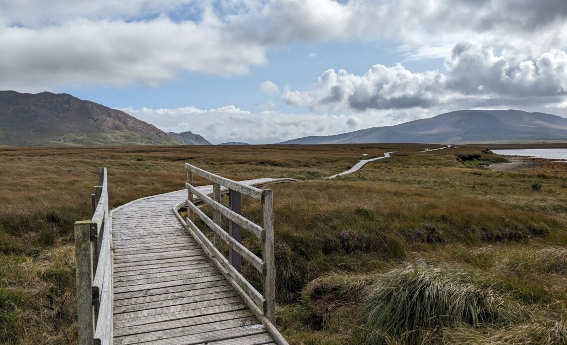
This County Mayo itinerary hadn’t been on my agenda for long. In fact, my first visit to the West of Ireland came about almost by accident. But our trip was brilliant; basing ourselves in Westport for four nights allowed us to explore plenty of Ireland’s Atlantic coast (immortalised as the hugely popular Wild Atlantic Way) including Achill Island, made famous by the film The Banshees of Inishiren.
Westport and County Mayo was full of surprises for me: the west of Ireland is far more dramatic and far more beautiful than I had realised with some really captivating insights to the area’s history. And of course, the people were just as warm and as welcoming as you would expect.
The family trip came about out of convenience as it was surprisingly easy for us all to get to via Ireland West Airport (remarkably, of the very few destinations accessible from both East Midlands Airport and Cologne/Bonn Airport, Ireland West airport is so far the first place where our flights could land within ten minutes of each other).
Here is a rundown of how we spent our time in County Mayo.
Our itinerary for four days in County Mayo
We had four full days in Mayo, landing on the Wednesday morning (around 8am) and departing equally early on the Sunday morning (also around 8am).
Unusually for me, we mostly got around by hire car and we didn’t plan in any hiking (despite the great opportunities to do so) in order to make the trip comfortable for everyone on our intergenerational trip.
Our itinerary
- Day one: North Mayo, visiting Moyne Abbey and Ceide Fields
- Day two: Blacksod bay, covering Blacksod Lighthouse tour, Mullet Peninsula, and the Craggan Mountain coastal trail
- Day three: Achill Island, to see Grace O’Malley’s Towerhouse, Cloughmore, Keem Bay and finishing in Mulranny
- Day four: Westport, exploring the town centre
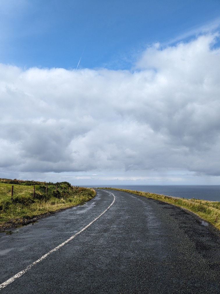
Day One: North Mayo
We arrived at Ireland West Airport (formerly Knock Airport), a perfectly nice airport which is both tiny and in the middle of absolutely nowhere. As we had a good while before my Dad’s train arrived (Dublin – Westport direct), we decided to explore some of North Mayo.
My sister had her heart set on seeing the oldest field in the world, which sounded thoroughly underwhelming at best (I don’t envy whoever has to try and make an ancient field buried under a bog sound like a showstopper) and I had pinned the ruins of an abbey to explore.
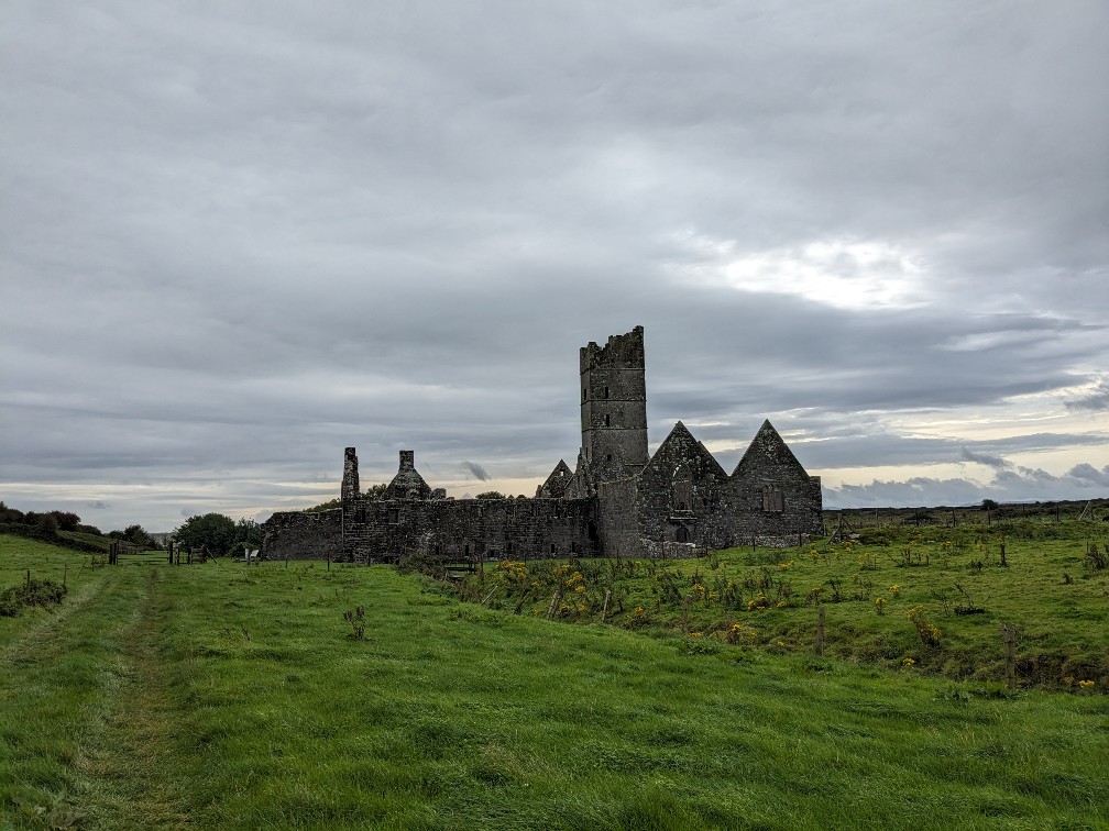
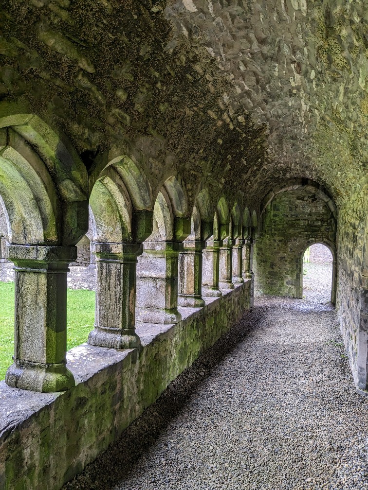
Our first stop was Moyne Abbey, just north of the town of Ballina. Founded in 1462 as a Franciscan Friary, the abbey sits in a pretty setting just off the coast. It was burned down by Sir Richard Bingham, Elizabeth I’s English governor of Connacht, in 1590. (I’m very sorry, Ireland.)
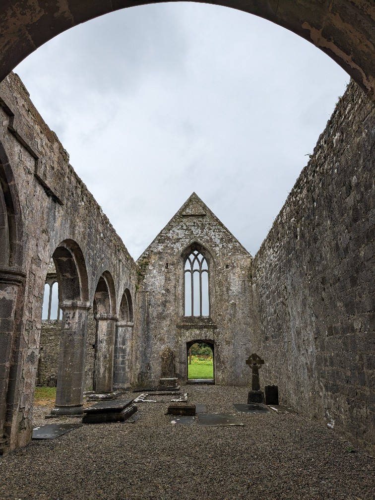
The ruins are in really good condition and there are plenty of rooms to explore, including the inner closter and the former nave. However, for anyone coming from England, don’t expect anything akin to the National Trust or Heritage England here: access is via a farmer’s field (beware the bull) and we saw only one signpost on our drive. It’s a bit of a shame to see something left to the elements in this way, although I supposed there’s also something a bit more authentic about the experience (plus – it’s free.)
Visiting Ceide Fields
We then set off towards the Ceide Fields. My expectations were very low, but let me be clear: this was probably one of the biggest surprises I have had while travelling for a long time. The Ceide Fields were fantastic. In a nutshell: deep under a bog on a barren hillside, prehistoric remains were found of walled fields. These remains are actually the oldest evidence of farming in the world. Their significance was discovered after a local teacher tried to interest national historians in the area. Astoundingly, the legacy of the land once being fertile farmland had survived in local folklore.
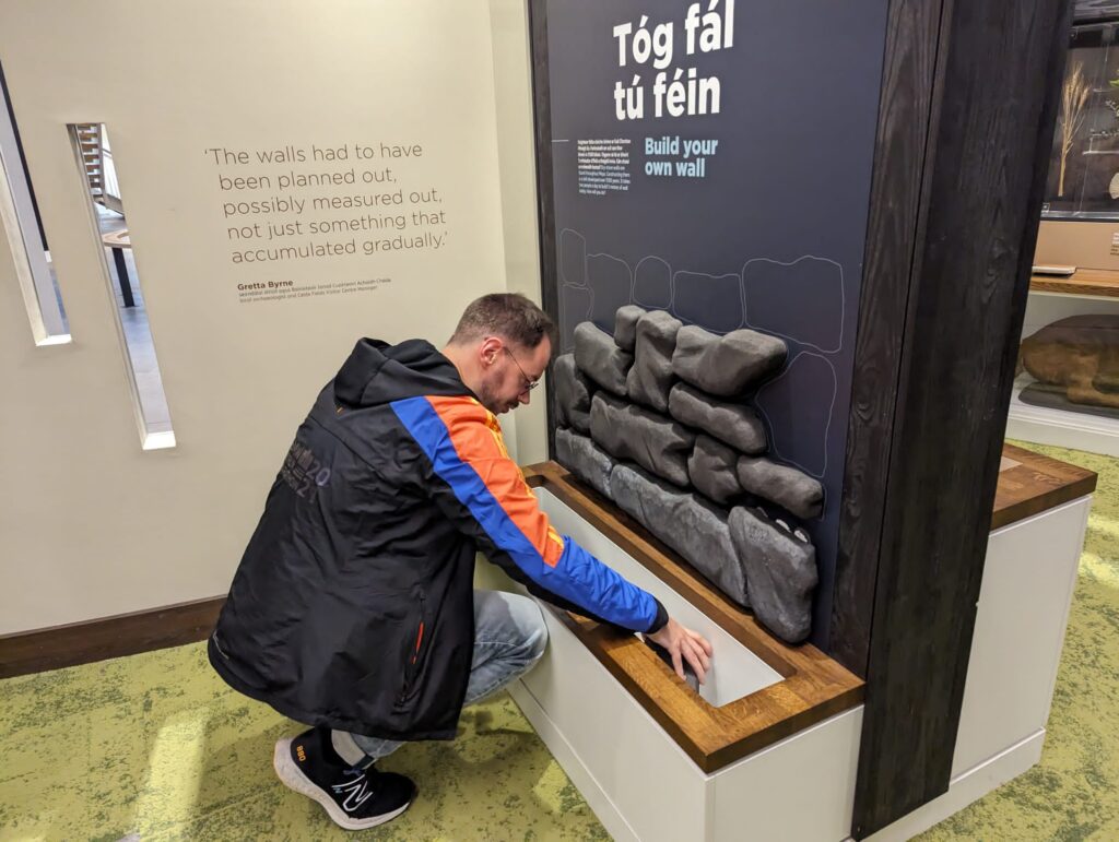
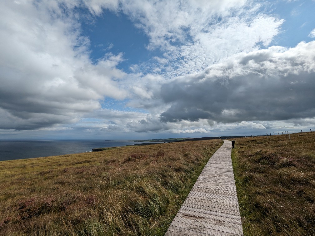
Though small, the visitor centre is full of interactive and informative exhibits and expertly explores the history of the site in relation to both the Irish nation and more widely on cultural memory and oral history. There is a big focus on the grassroots movement to discover more about the site and information on how it was carbon-dated. You can stretch your legs with a short walk around the hillside before getting some food at the cafe, which served the greatest flapjack I have ever had in my life.
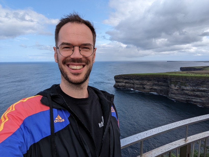
And the cherry on top? The visitor centre overlooks a sweeping view of the Atlantic coast, including several dramatic cliff edges. Absolutely not one to miss in North Mayo.
Day two: Blacksod Bay
For our second day, my Dad was really keen to do the guided tour of the Blacksod Lighthouse on the Mullet Peninsula. He’d visited the area before and said the history was interesting but he’d missed the tour. Again, I’ll admit, I was reluctant. The lighthouse is just three storeys high and looks very unspectacular from the outside. But once again, I was proven wrong: the tour was brilliant.
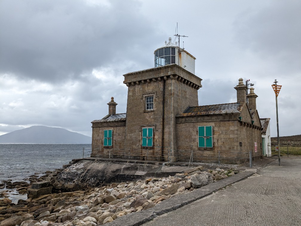
Our tour guide was Gerry Sweeney, who actually grew up in the lighthouse itself when it was common for families to occupy the buildings. He took us around the modest exhibition inside (which included his parents and his own family history) and gave us a real insight into the history of the industry and the local area itself – as we stood in his former childhood bedroom. Gerry is a fantastic storyteller and it was truly fascinating to hear his stories of life both on land and on the remote island lighthouses dotted around Ireland’s coast.
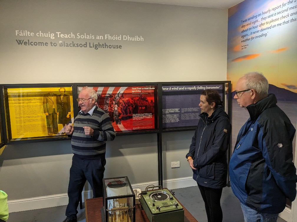
The most surprising story in my mind (and the thing that really piqued my Dad’s interest in the first place) is that the weather report for the day of the D-Day landings at Normandy came from Blacksod Lighthouse. The report was instrumental in giving the operation the green light on that day (as the plan hinged on the right wind and tide conditions), although it was many years later that it was confirmed to be the report from Blacksod that was used. Gerry’s mother (who made the original report) was even given a medal just a few years ago in recognition of the role she played.
I would fully recommend doing a tour of Blacksod Lighthouse with Gerry.
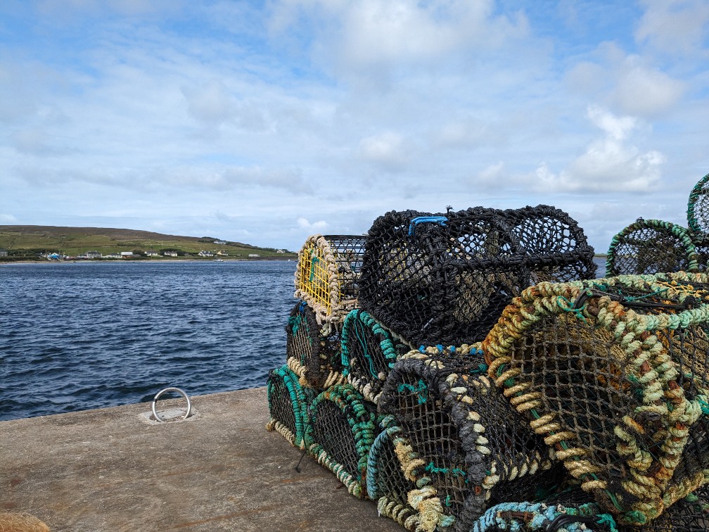
The history of Blacksod Bay
Outside of the lighthouse (quite literally – there are display boards directly outside) you can uncover more of the history of Blacksod Bay and the role it played in Irish history.
County Mayo was one of the places most severely impacted by the Great Famine in the 1800s. The population of Mayo at the start of the famine in the 1840s was 388,887 but had shrunk to under 200,000 by the 1900s. To escape starvation and poverty, many left to America. Some were aided by English Quaker James Tuke who, appalled by the awful conditions and cruel evictions carried out by landowners, created a fund which paid for the fare to America for those who could prove they had contacts out there. Between 1882 and 1884, 11 steamers left Blacksod and Mullet Peninsula carrying those assisted by the ‘Tuke Fund‘. You can find a memorial to those who left on the beach outside the lighthouse.
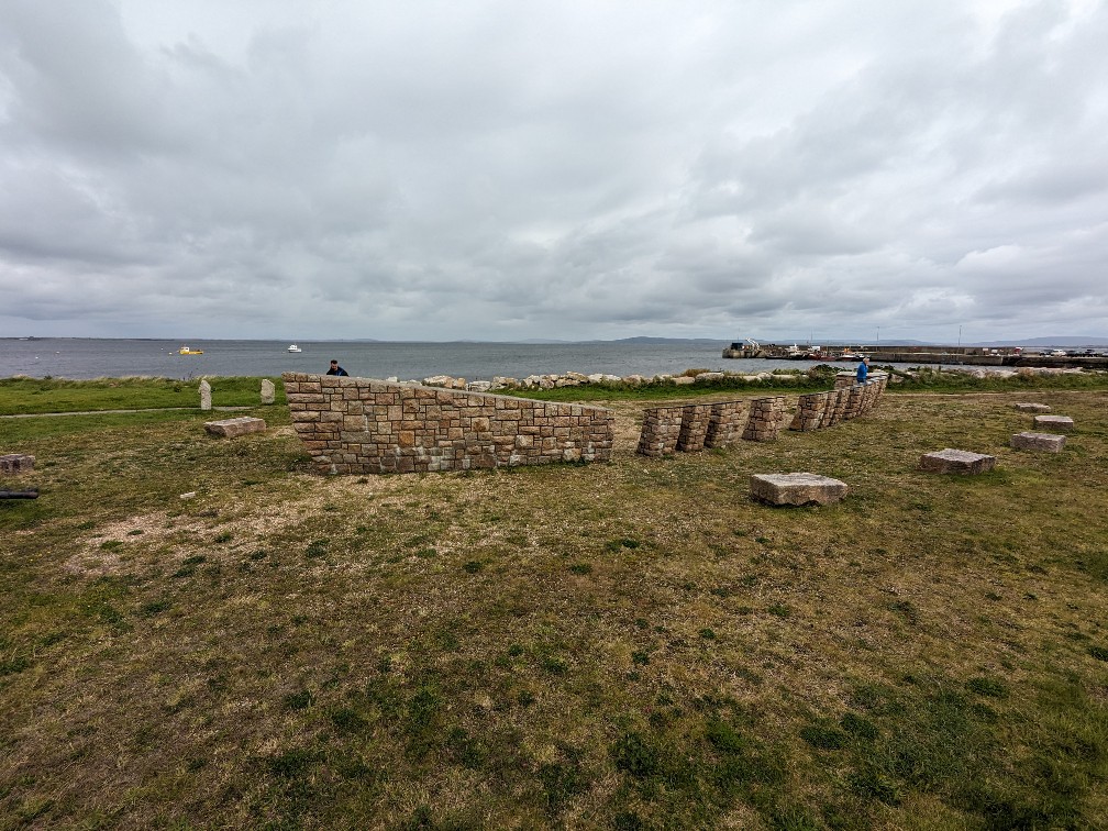
The region’s strong link to America is also why Blacksod was chosen in the early 1910s as the site for construction of a prestiguous shipping terminal which was to be linked to London by rail. Obviously the plan never came to fruition as the war broke out soon after.
The Mullet Peninsula is part of the Gaeltacht, a group of regions in Ireland where Irish is still spoken as a common daily language. After some coaching from Irish friends via voice notes on Whatsapp, I bravely attempted a “thank you” (or go raibh maith agat) in Irish… to a man who turned out to be from Northern Ireland and was not a native speaker. Well, I tried…
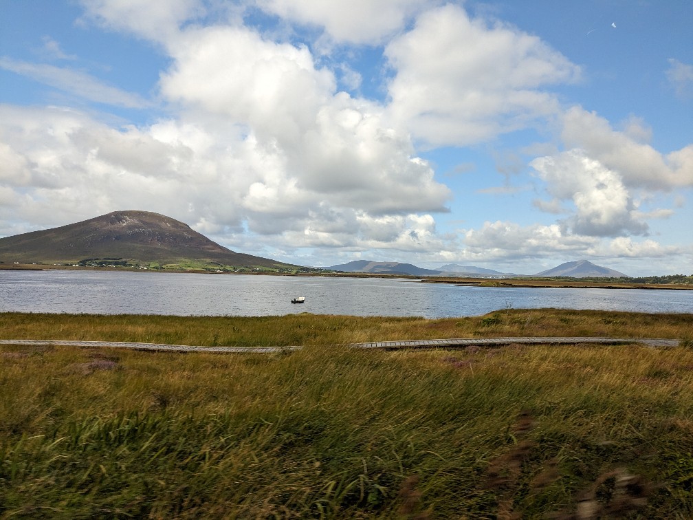
Claggan Mountain Coastal Trail
After stopping off at Belmullet for some lunch in the Western Strands, we headed back to Westport. En-route we stopped off at the Claggan Mountain Coastal Trail, a short route along boardwalks and the beach surrounded by the natural beauty of Blacksod Bay.
The walk features a few display boards that give some information on the peat bog terrain which is found in large parts of Mayo and how it is still used today as a source of fuel (with new rules implemented to ensure its sustainable use). But the real star of the show here is the surrounding scenery. The road from Westport to Belmullet is a spectacular drive and here is the best place to get out of the car and enjoy it.
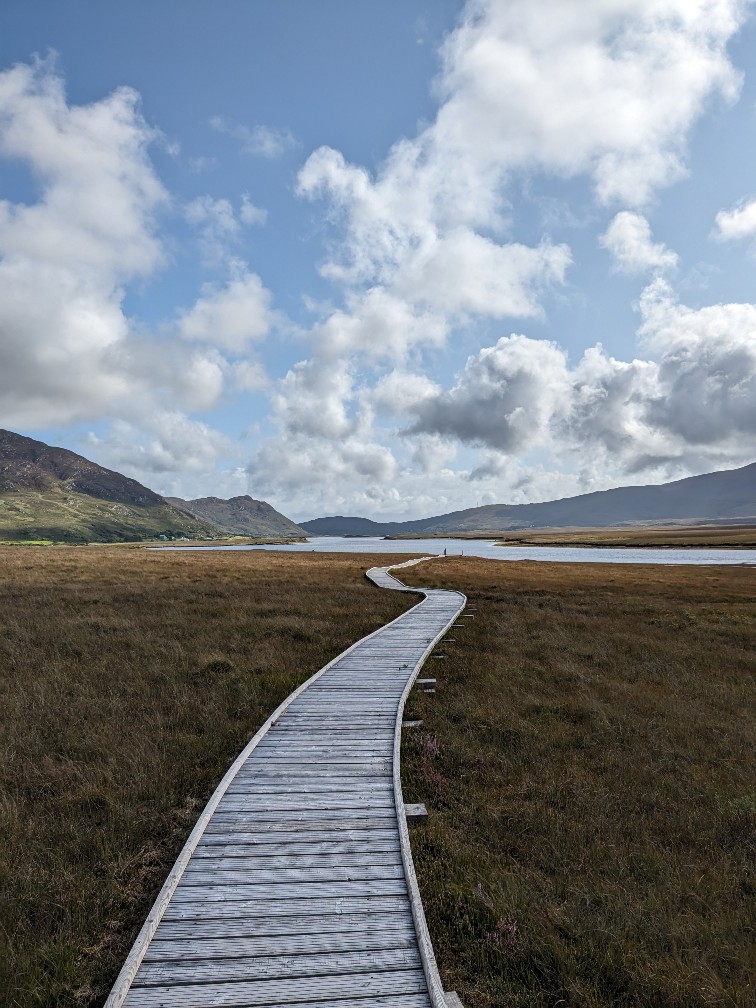
The 2 kilometre loop is very flat and a gentle and easy walk for all ages and abilities. Those who don’t want to tackle the soft sandy beach can walk back via the boardwalks.
Day three: Achill island & Mulranny
I feel like when it comes to Mayo, Achill Island is the star of the show these days – quite literally. The island was used as a backdrop for the Oscar-nominated film the Banshees of Inishiren and you can see that the tourism board and local tour guides are really hoping to make the most of it.
The island itself feels huge – and in every sense of the word. In addition to being the largest island off the coast of Ireland, Achill is incredibly mountainous with some of the highest peaks in the area. Standing on the cliff side at Cloughmore, I had to work hard to convince my Dad that the towering peaks we could see in the distance were actually still on the island. Achill’s jagged coastline and many inlets make it hard to get a sense of the island’s geography.
Driving tour of Achill Island
While I think you can also explore the island relatively well by bike, we were in the car for practical reasons, which made it easy to explore the island. There’s one road bridge onto the island at Achill Sound, just a few metres from the end of the Greenway cycle route from Westport. Taking a left shortly after onto the L1405 will bring you to a handful of Achill Island’s best sites.
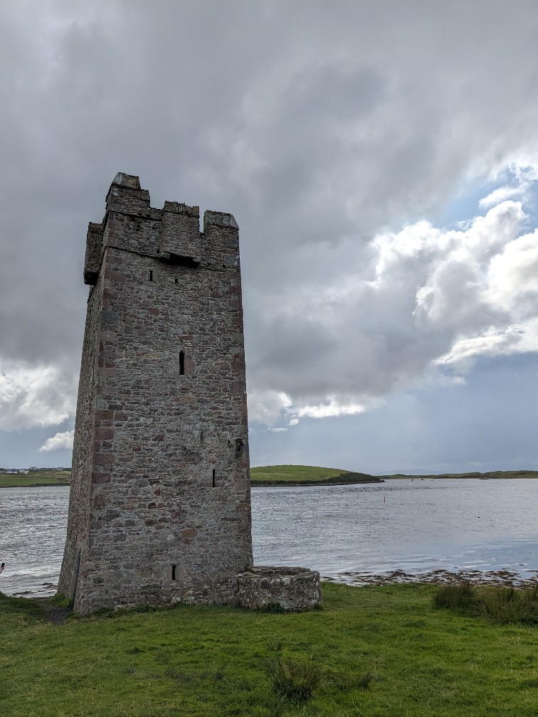
The first site you’ll come across is Grace O’Malley’s Towerhouse, the ruins of a former fortress that pirate queen Grace O’Malley used to police the sound. Looking across the narrow strip of water, it’s easy to imagine how effective this castle would have been. But similar to Moyne Abbey, there isn’t much here, aside from two information boards and a coffee pop-up trailer, so imagining (and reading) is pretty much all you’ll do here. (Also be aware that parking at the towerhouse is limited.)
One thing that really surprised me about Mayo is that there is no museum or exhibit dedicated to Grace O’Malley – or even piracy in general. You’ll find a lot of references to her and her colourful life story, but there doesn’t seem to be many efforts yet to delve deeper into her history or that of the area. There is, however, the successful Grace O’Malley gin and a handful of books which have been written about her.
But luckily the next stop on our driving tour was an absolute showstopper. Just four minutes drive along the same road, you’ll reach a viewing point marked by a Wild Atlantic Way sign for Cloughmore. The view here really is spectacular: you’ll see the waves breaking against the jagged rocks below, to your right you’ll see the peaks of Achill Island stretching into the distance; to your left, you’ll see the outline of Clare Island and straight ahead, the uninterrupted view out to the Atlantic Ocean. We were very fortunate with the weather when we visited this spot, but even in the rain I can imagine it being very impressive here.
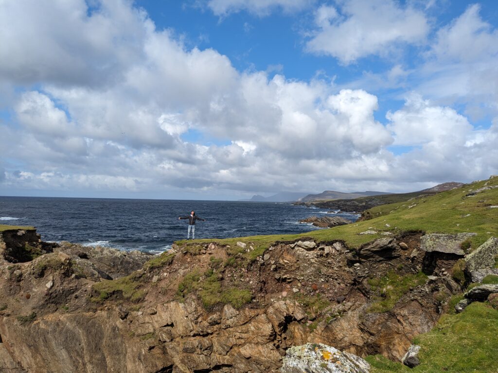
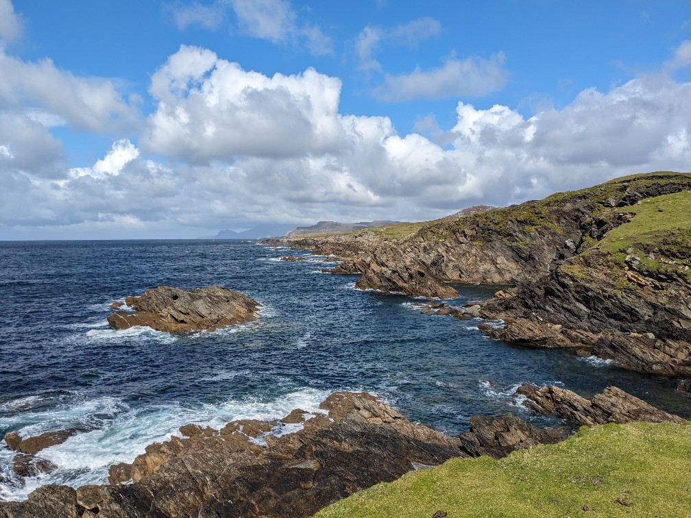
Our Achill Island driving route to Keem Bay
After an eight minute drive, you’ll reach another viewing point, looking out on to the White Cliffs of Ashleam. Here you’ll be treated to more views of Achill’s jagged and dramatic coastline, as well as an information board about peat bog farming which is actually pretty interesting. It was also at this point that the weather broke for us and we were treated to strong winds and rain.
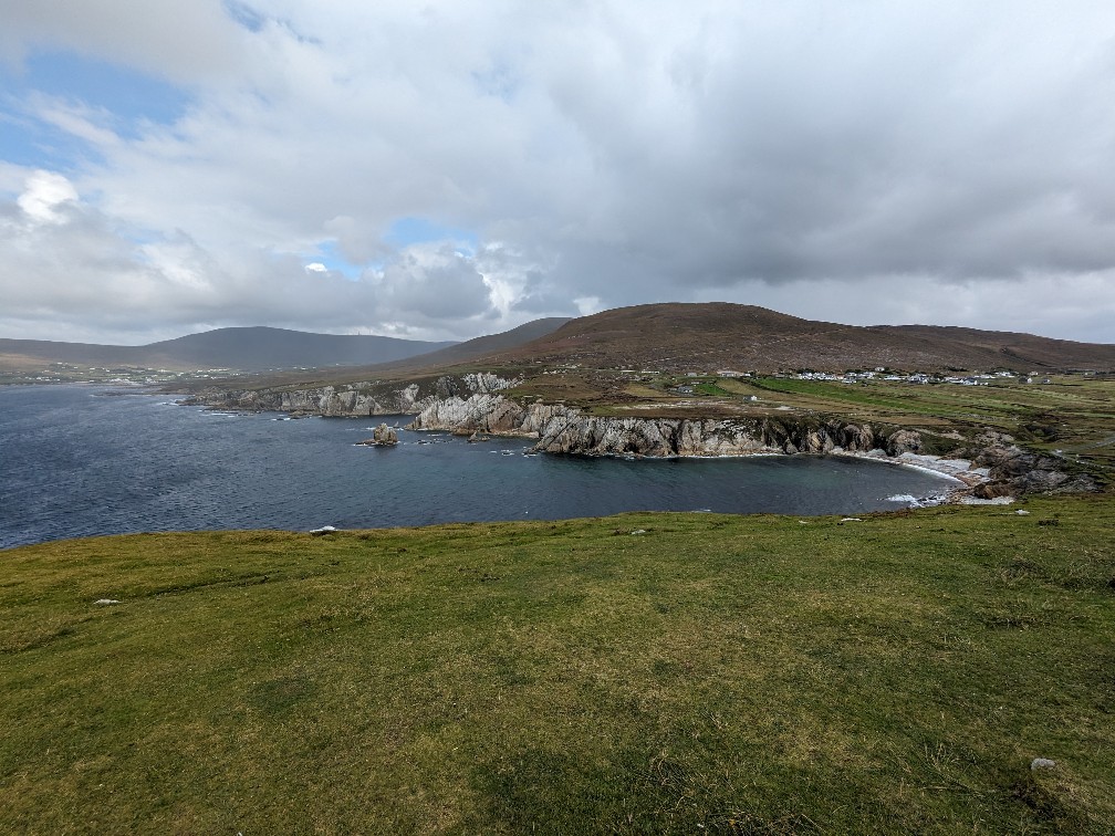
Burning peat is still used as an energy source on the island, though there are apparently now regulations in place to ensure its sustainable use. As you drive around Achill and other parts of Mayo, you’ll see areas where the bog has been cut away – or even bags of unearthed peat waiting to be taken away.
From here, our route took us inland where we rejoined the main road R319, heading towards Keel. The rain continued, so we headed to Gielty’s for some food. (The pub calls itself the most westerly in Europe, but I remain steadfast that the entire nation of Iceland might have something to say about that…) Back on the main road, you’ll see plenty of camping sites and holiday parks, which really goes to show just how popular this spectacular location is. Stretches of the road have a real seaside-resort feel.
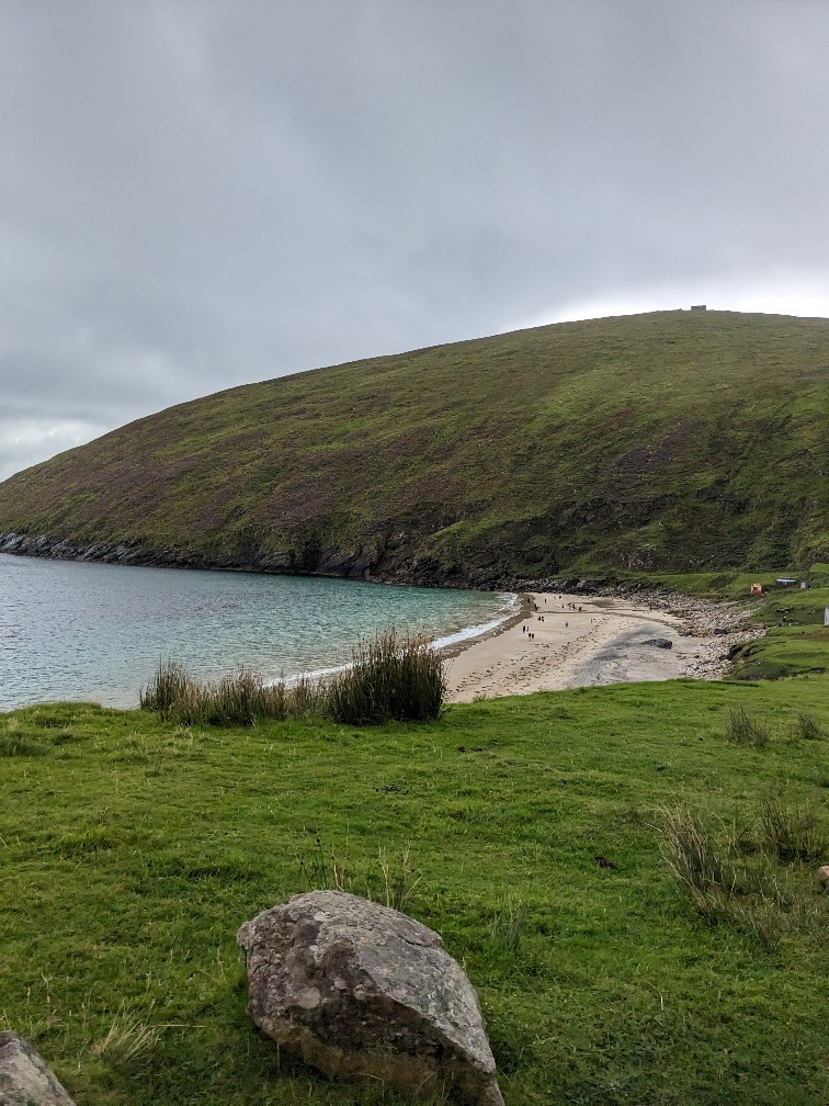
After some great fish and chips, we got back in the car for our last destination: Keem Bay. Situated at the very end of the road (and the island itself), Keem Bay is a small beach hemmed in by high mountains. The drive there is along a narrow road which clings to the side of the mountain. I can’t say it feels particularly comfortable (even as a passenger) but the views are great! The rain picked up again while we were at the bay, but it really is a lovely spot – and a great end to our time on Achill.
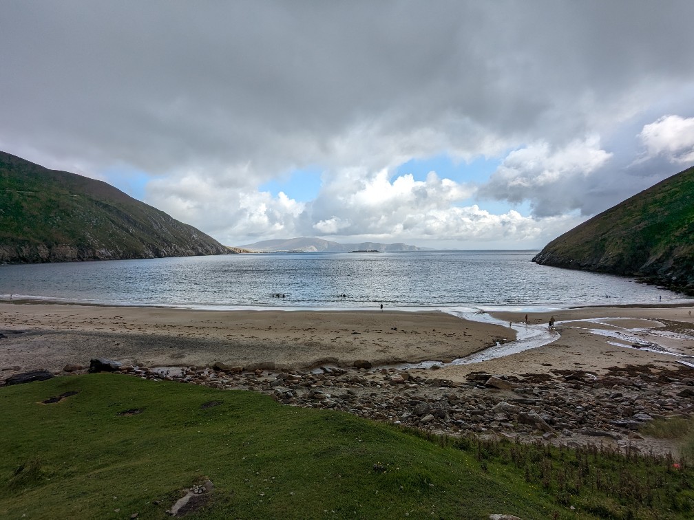
Originally we wanted to spend a little more time on Achill island, by visting the Slievemore deserted village and stretching our legs on a short Valley Loop walk in Dooagh. These would both make a great extension to this tour. Instead, we headed on to Mulranny to do a walk there.
For another great driving route in Ireland, check out this itinerary from Belfast to Dublin.
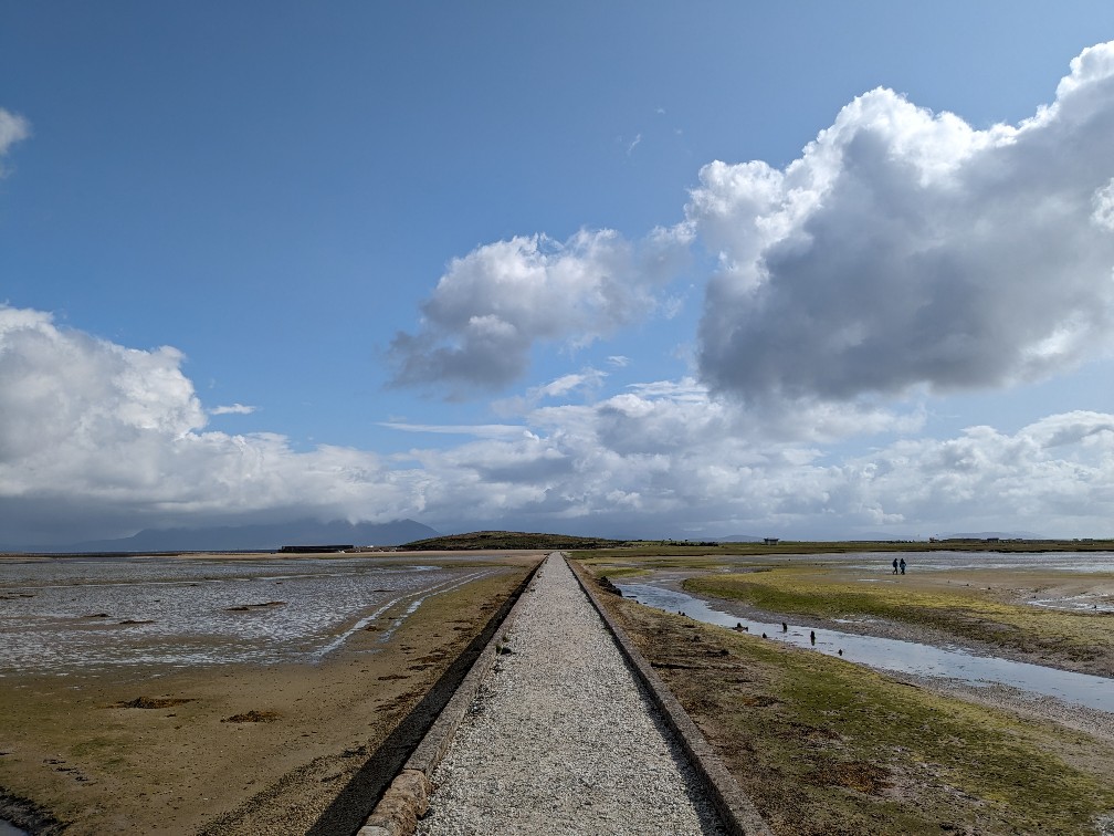
Mulranny Causeway Loop (DNF)
Heading back from Achill Island, we stopped in the coastal town of Mulranny (or Mallaranny) in order to do a nice 4km Causeway Loop walk.
We started by walking down to the causeway and along to Mulranny beach. The views here were fantastic and the beach itself is absolutely pristine. (There’s a sandwich board offering litter bags and a litter picker to encourage everyone to clear up after themselves.) After getting a gorgeous hot chocolate from another convenient pop-up trailer, we went for a nice walk along the beach.
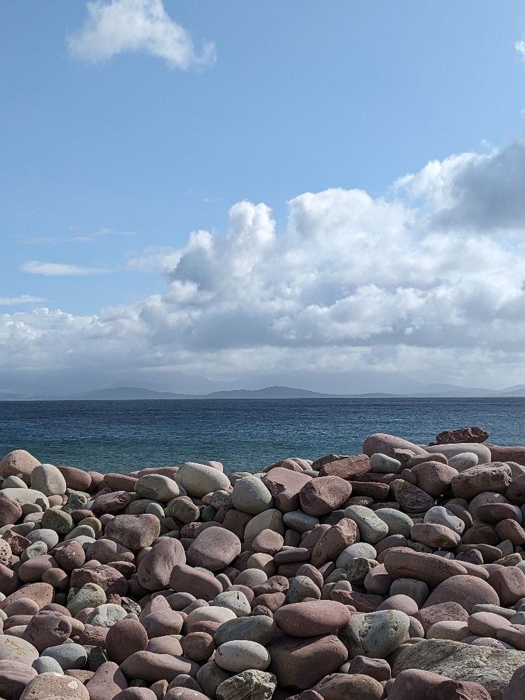
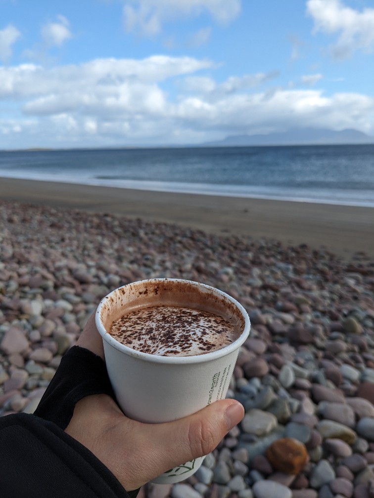
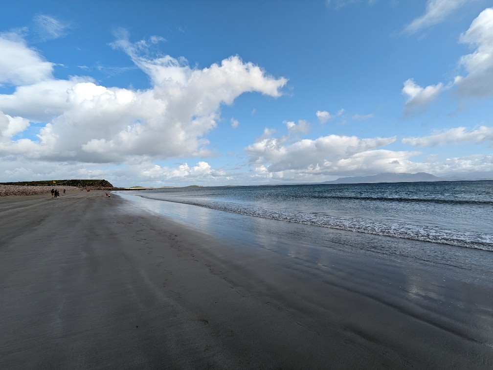
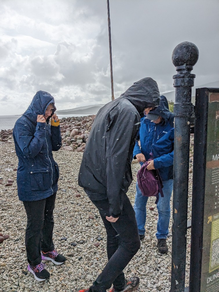
It was then that the weather turned. The weather during our time in Mayo was very changeable but we had been lucky: the few downpours had happened as we were in the car and the sun was shining in a lot of the locations we visited. In Mulrannay, our luck ran out. We got caught in torrential rain while we were directly on the beach. Luckily, most of us were wearing waterproofs (which I had insisted everyone pack) but even these were put to the test. We also discovered at this point that the route was closed for maintenance. After the rain abaited, we trudged back along the causeway, encountering another shorter downpour on the way back to the car. It was a bit of a shame on all fronts as I was looking forward to the walk, but it was definitely time to head back to our accommodation after that!
Day four: Westport
On our final full day in County Mayo, we decided to stay local. This allowed us to have a lie-in, go for a nice long run and give our designated driver a day off from ferrying us around.
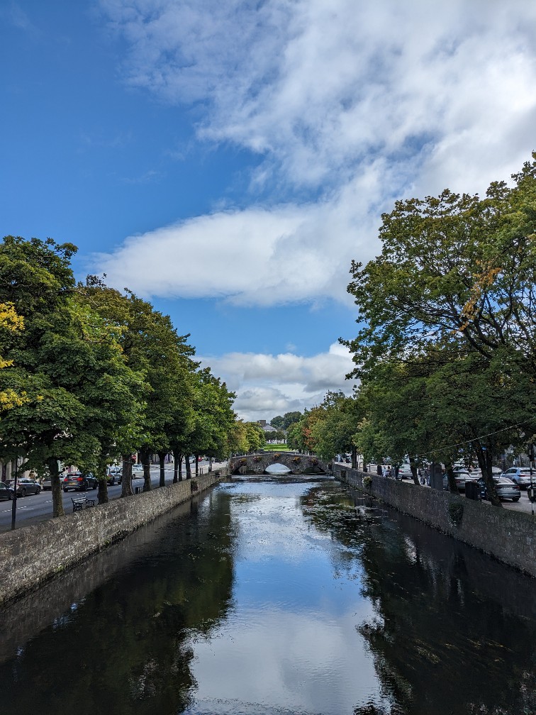
Westport itself is a nice place. Despite its small size, it has the buzz of large city with plenty of visitors and lots going on. Due to which, it also has an unfortunate amount of traffic syphoned through the town centre but for bars and restaurants (and also souvenir shops), you’re literally spoiled for choice.
Things to do in Westport
In terms of things to see and do in Westport, I wouldn’t say there are tonnes of options, but it has great bars, restaurants and shops which is one the reasons it makes a great base for exploring more of the surrounding area.
I did explore a bit of the Greenway around the town on an early morning run. It’s largely really well looked after and I can see why it’s so popular as a cycle route. (However at least in August 2023, a lot of the signage hadn’t been updated since a new bypass junction was completed, which meant running down a lot of dead-ends which was frustrating.)
I really enjoyed the time we spent shopping in Westport, particularly visting The Bookshop and Wild Atlantic Wear.
Restaurants and bars in Westport
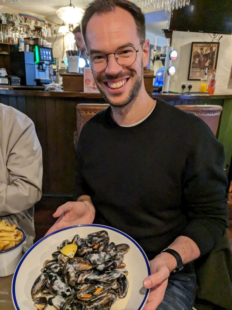
In terms of eating out in Westport, there were a couple of highlights for me, including amazing mussels at Cobbler’s Bar, fantastic Indian from The Everest (although it did take two hours to arrive) and decent pizza from Il Vulcano. One piece of advice would be to book in advance – particularly for Friday and Saturday evenings.
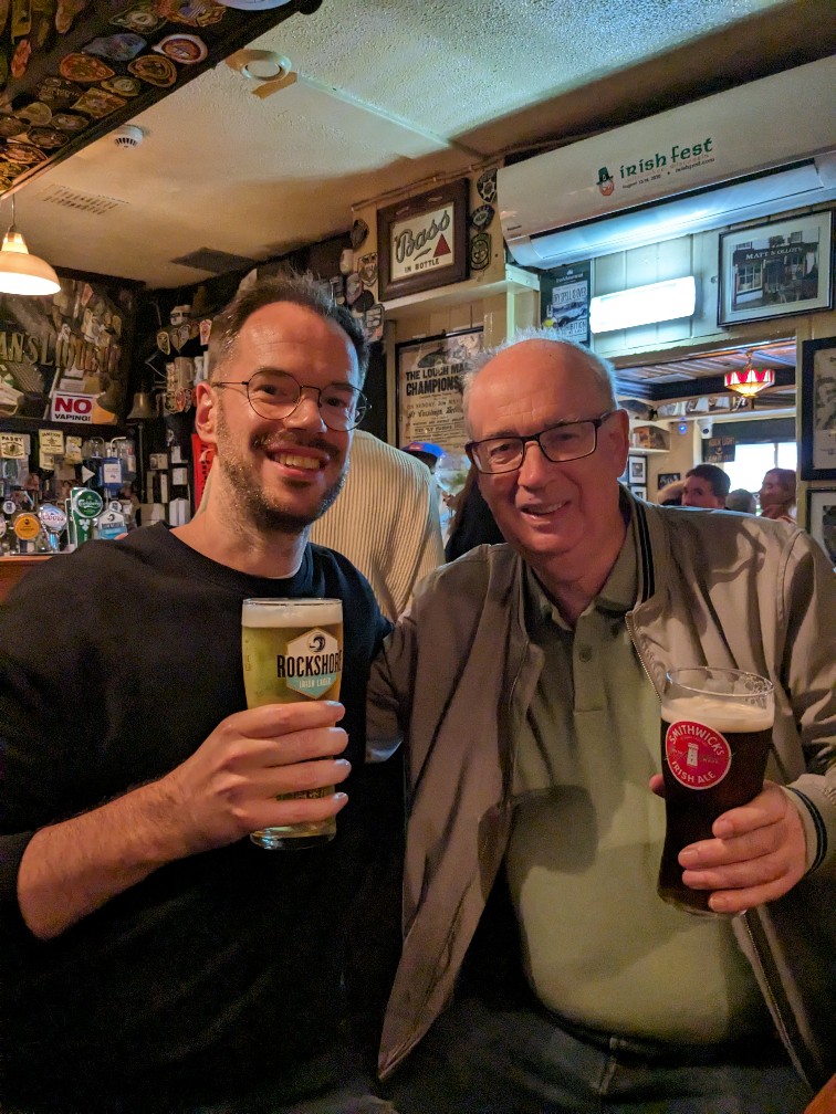
For a traditional experience, I would definitely recommend Matt Molloy’s Pub, where we had some good beer and listened to Irish trad music, which I think they have most nights.
Staying in Westport: in summary
Westport makes a really good base for exploring County Mayo and seeing part of the Wild Atlantic Way. The area is more well-known for active adventures like hiking Croagh Patrick, cycling 40km of the Greenway or even scuba-diving or snorkelling, so it was a relief to discover that there’s plenty to see and do on a more relaxing intergenerational trip as well.
However, I think it would be very difficult to do the same trip if relying on public transport. Even just getting to and from Ireland West Airport for our flight times would have been almost impossible.
But nevertheless, I would definitely recommend a trip out to Westport and County Mayo.


On my bucket list!
I think you’d really like it! It’s a great destination for a family trip… as we proved! 😀